Why Drone Services in Virginia Are Changing Farm Management

Picture of Rick Moore

Rick Moore

Owner & Founder
Date Published: 8/4/2026

Drones Services in Virginia Being Used for Farm Management.

Table of Contents

Introduction to Drone Services in Virginia

Drone Services by Adept Motions
Drone Services by Adept Motions & Affiliate Partner Blue Nose Aerial Imaging of Southwest Virginia

In Virginia’s agricultural landscape, technology is reshaping the way land is managed, and drones are at the forefront of this transformation. These modern tools offer an innovative approach to tackling some of the most pressing challenges faced by landowners, from monitoring crop conditions to surveying expansive properties with efficiency and precision. Unlike traditional methods that can be labor intensive and slow, drones provide a faster, more effective way to gather critical information.

Equipped with advanced sensors and imaging capabilities, drones deliver actionable insights that empower farmers to respond to potential issues more effectively. Whether it’s detecting areas of stress in crops or evaluating soil conditions, the data collected by drones helps inform decisions that directly impact productivity and profitability.

What sets drones apart is their ability to cover large areas quickly while providing detailed, real-time data. This not only saves valuable time but also reduces reliance on less efficient practices that may no longer meet the demands of modern agriculture. By incorporating drones into their management strategies, landowners gain access to a powerful tool that streamlines operations and enhances results.

This shift toward drone services reflects a broader trend of integrating technology into agriculture, making it possible for farmers to address challenges with a level of precision and efficiency that was once out of reach.

Understanding the Agricultural Needs

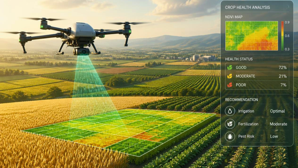
Drone Monitoring Crop Health on a Farm.

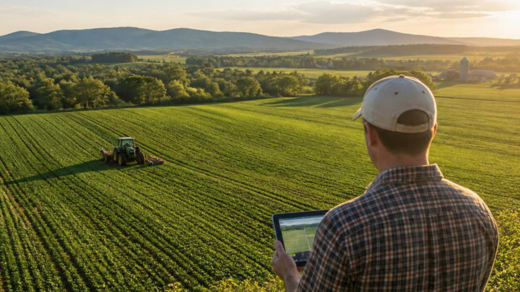
Managing agricultural land effectively requires addressing a wide range of challenges, many of which demand timely and accurate information. Monitoring crop health is one such critical task, as identifying stress or disease early can make a significant difference in protecting yields. However, traditional methods often require extensive time and effort, making it difficult to keep up with the fast pace of modern farming demands. This can lead to delays in detecting and resolving issues, ultimately affecting productivity and profitability.

In addition to crop health, the sheer size of many properties can pose logistical challenges. Surveying large areas manually or relying on outdated equipment can drain resources and leave gaps in data accuracy. This makes it harder to pinpoint specific areas that require attention, whether it’s applying fertilizers, addressing irrigation issues, or mitigating pest infestations. Without precise information, farmers may end up using a one size fits all approach, which can lead to inefficient resource allocation and increased costs.

Moreover, consistent access to high-quality data is a common barrier. Data collected inconsistently or with limited scope can result in incomplete insights, leaving farmers to make decisions with less confidence. Addressing these needs requires solutions that not only simplify data collection but also ensure the information is both accurate and actionable. Meeting these demands is essential for optimizing land management practices and achieving better outcomes.

Cost-Effective Solutions with Drone Services

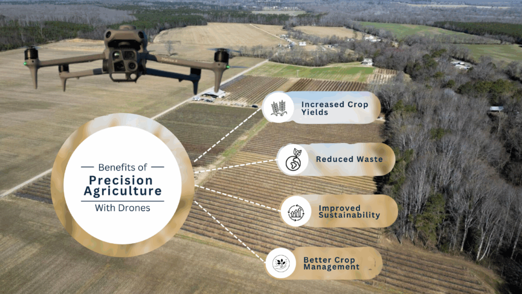
the benefits of precision agriculture with drone services
The Benefits of Precision Agriculture with Drone Services

Drones offer an efficient way to tackle the high costs associated with traditional land monitoring and surveying methods. By quickly capturing detailed aerial images and valuable data, drones significantly cut down on the time and labor required for these tasks. This allows farmers to shift resources toward other priorities, improving overall operational efficiency.

With drones, inspections that once required multiple workers and long hours can now be completed in far less time, often with a higher degree of precision. This not only helps reduce payroll expenses but also minimizes the wear and tear on other equipment that might otherwise be used for manual surveys. Furthermore, the ability of drones to cover large areas rapidly means less time is spent out in the field, allowing for faster responses to issues as they arise.

Advanced drone technologies are designed to streamline tasks that traditionally required multiple steps. For example, drones equipped with high resolution cameras or specialized sensors can deliver the same, if not better, results than other more expensive and slower methods. By automating data collection and analysis, drones also eliminate the need for repetitive tasks that can drain time and resources.

For farmers facing rising operational costs, investing in drone services can provide a practical and budget friendly alternative to older techniques. Instead of relying on outside experts or costly equipment rentals, drone services offer a scalable option that suits properties of all sizes. The cost savings realized from these efficiencies can then be reinvested into improving other aspects of the farm, further supporting long term growth and sustainability.

Access to Advanced Drone Technology

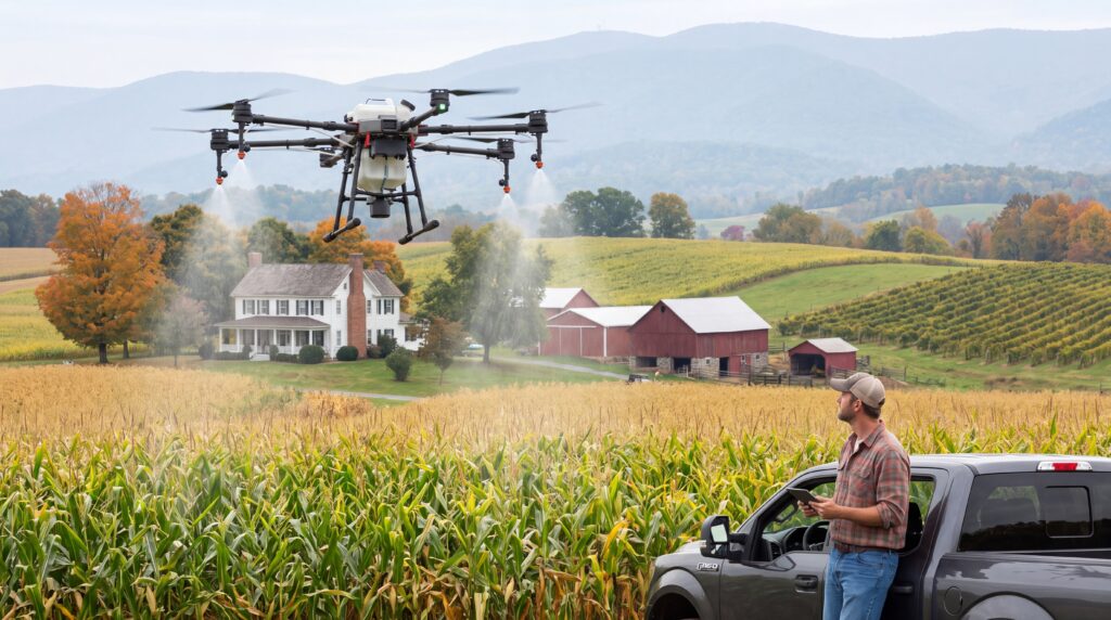
Drone Being Used to Spray Crops on a Farm in Virginia.

The availability of advanced drone technology is transforming how agricultural operations are managed across Virginia. Today’s drones come equipped with sophisticated tools that allow for tailored solutions to meet diverse farming needs. Features like high resolution imaging, thermal sensors, and multispectral capabilities provide a clearer picture of crop and soil conditions than ever before. This level of insight empowers farmers to make precise adjustments in areas such as irrigation, fertilization, and pest control.

Modern drones also incorporate GPS guided navigation, which ensures consistent flight paths and thorough coverage of fields. This technology eliminates the guesswork often involved in data collection, providing more dependable results while saving valuable time. Additionally, many drones are now designed with user-friendly software that makes it easier to analyze data and turn it into actionable strategies. From mapping nutrient deficiencies to monitoring plant health, these tools are tailored to simplify even the most complex tasks.

As the technology behind drones continues to evolve, new opportunities are emerging for integrating these devices into daily operations. Some models now offer automated flight programming, enabling drones to carry out routine inspections with minimal manual oversight. This not only boosts efficiency but also reduces the learning curve for landowners new to drone technology. With more accessible tools and competitive pricing becoming the norm, advanced drone technology is no longer limited to large scale operations, it’s a practical option for farms of all sizes. Farmers can now harness these cutting-edge solutions to streamline their processes and achieve better results with less effort.

Ensuring Accurate and Consistent Data

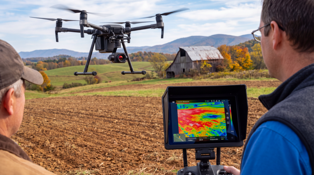
Drone Being Used to Inspect the Condition of the Soil on a Farm in Virginia.

Reliable data collection plays a critical role in making informed decisions for agricultural operations. Drones have emerged as an invaluable tool for delivering precise and consistent insights that were once difficult to obtain. With the ability to capture high resolution images and detect subtle variations in crop and soil conditions, drones enable farmers to address specific challenges with greater accuracy. This level of detail helps identify areas requiring immediate attention, such as uneven irrigation, nutrient imbalances, or early signs of pest activity.

Unlike traditional methods that can sometimes result in inconsistent measurements, drones provide repeatable and dependable results across entire fields. Their advanced technology ensures uniform coverage, reducing the risk of missed areas and incomplete data sets. This consistency allows landowners to track changes over time, making it easier to measure the impact of adjustments and refine their management practices.

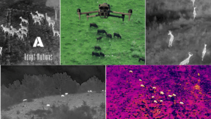
Many modern drones are equipped with sensors that go beyond what the naked eye can observe, such as thermal imaging or multispectral analysis. These tools make it possible to uncover issues that might otherwise remain hidden until they become more severe. For example, detecting temperature variations in soil can help optimize watering schedules, while multispectral data can reveal crop stress before it becomes visible.

Additionally, the streamlined process of collecting and analyzing drone data reduces the need for manual input, which not only saves time but also minimizes human error. This ensures that the information used to guide decisions is as accurate as possible, providing landowners with a reliable resource to improve efficiency and outcomes across their operations. By incorporating drones into their workflow, farmers can better anticipate problems and develop targeted strategies to maintain the health and productivity of their land.

Future Prospects for Mapping Drone Services

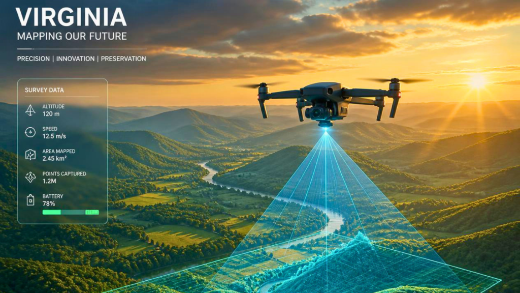
Mapping Drone Services in Virginia are Growing More Popular.

The agricultural industry in Virginia stands to benefit greatly as drone technology and drone services in Virginia continues to advance. Emerging developments in artificial intelligence are set to make data analysis faster and more intuitive, providing farmers with deeper insights to guide their decisions. Enhanced automation features are also on the horizon, allowing drones to perform routine tasks with minimal intervention, freeing up valuable time for other responsibilities.

As integration with farm management software improves, drones will become an even more seamless part of agricultural operations. This connectivity will enable farmers to combine drone collected data with other tools, creating a more comprehensive view of their land and resources. For example, integrating drone data with irrigation or fertilization systems could lead to smarter resource management and reduced waste.

Additionally, advancements in drone hardware are likely to improve accessibility for farms of all sizes. Compact, affordable models with upgraded imaging and sensor capabilities will make it easier for smaller operations to adopt the technology, leveling the playing field across the agricultural sector. At the same time, improvements in battery life and range will expand the practical applications of drones, allowing them to cover larger areas or operate for longer periods between charges.

These drone services in Virginia innovations promise not only to enhance efficiency but also to address new challenges as they arise, ensuring that agriculture in Virginia remains adaptive and resilient. By staying informed about these advancements and exploring how they align with their goals, landowners can position themselves to take full advantage of the opportunities ahead.

Conclusion

As you can now probably see, drone services in Virginia can be very beneficial for farmers trying to cut costs as well as help manage farmland.  There is a rising demand for drone services in Virginia, however, it is mostly commercial marketing for big events. But precision agriculture drone services in Virginia are growing more and more popular and could see a big boom in demand here soon.

For more information on how drone services in Virginia as well as anywhere else in the world can be used in many different ways, be sure to read our following related articles.  Also, be sure to check out our most asked questions with answers about how drone services in Virginia are being used to manage farms below.

FAQs

Farmers in Virginia are discovering the game changing potential of drones for managing farmland. These innovative tools allow for detailed and efficient assessments of agricultural land, providing insights that were previously difficult to obtain.

Drones use cutting edge technology to collect data quickly and accurately, enabling smarter decision making for resource management and crop care. By embracing drone services, landowners can adopt a more modern approach to farming, tailored to the unique challenges and opportunities in agriculture today.

Drones equipped with advanced sensors provide a detailed look at crop conditions by capturing high resolution images and data. These tools can detect signs of stress, disease, or nutrient deficiencies that might go unnoticed from the ground. With the ability to cover vast areas efficiently, drones ensure timely detection of potential problems, allowing for prompt action. This proactive approach not only helps protect yields but also supports more effective and precise management of resources across the farm.

Drones simplify land monitoring by providing detailed, real-time views of agricultural areas. With their advanced imaging capabilities, drones help identify changes or issues in the land that might not be visible through traditional methods.

They can cover large tracts of farmland in a fraction of the time it takes to conduct manual inspections, ensuring quick access to vital information. This streamlined approach helps improve land management by offering timely and actionable insights, enabling farmers to respond more effectively to their land’s needs.


Drones offer an affordable alternative to traditional surveying by minimizing the need for manual labor and heavy equipment. Their ability to quickly gather precise data over large areas helps reduce overall expenses while maintaining efficiency. This modern approach allows landowners to allocate resources more effectively, addressing the challenge of high surveying costs without sacrificing quality.

Drones gather precise data with remarkable consistency, reducing the risk of human error and ensuring dependable results. Their advanced technology enables a clear and accurate understanding of farmland conditions, empowering farmers to make informed decisions. This level of reliability supports effective planning and fosters improved resource management for long term success.

Related Articles